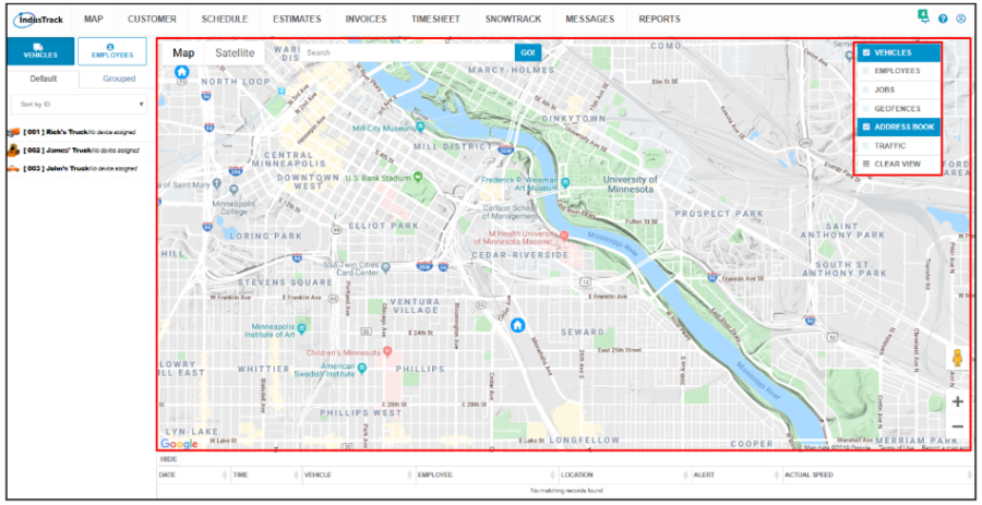
The Map
The map is the biggest section on the map page. Basic map navigation and controls are discussed in this article. The map is discussed in detail in other articles under the Map module.
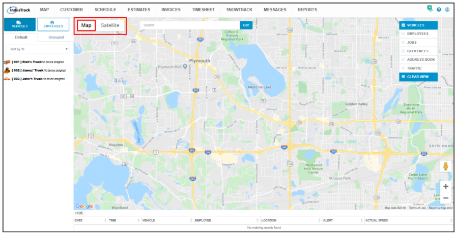
Map View
Use the Map and Satellite buttons to change how the map is seen.

Street Map View
The default map shows the street map.
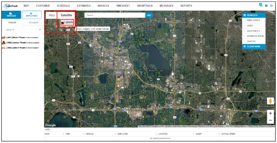
Satellite View
Click on the Sattelite button to show the satellite imagery of the map.
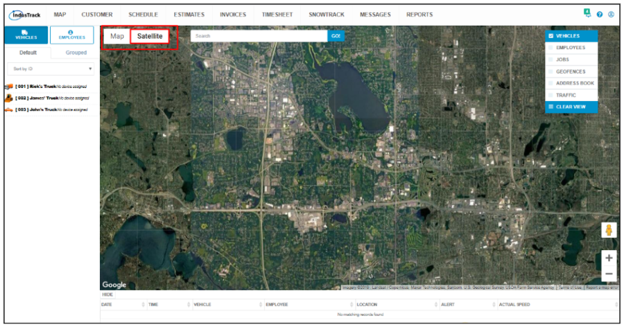
Hover over Satellite and tick the checkbox for Labels. Street names and interstate labels will be shown on the map.
Map Locators
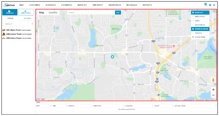
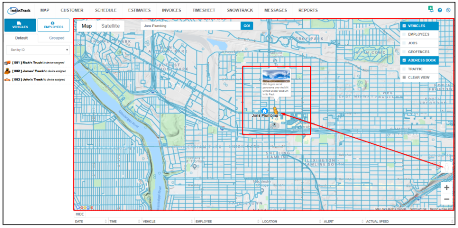
Use the Search Bar to find jobs, customers, and even geofences quickly and easily on the map. You can also search for field employees’ and vehicles’ locations on the map using the search bar.
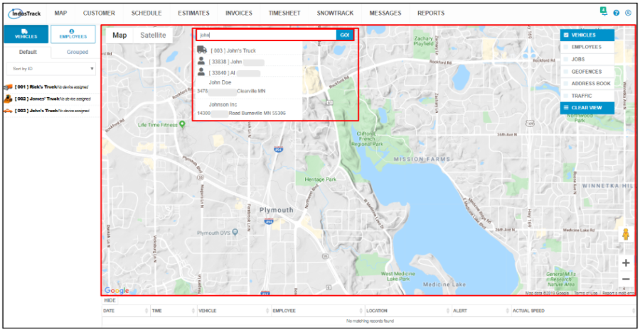
Key in the name or address on the search bar. Select the name you are looking for from the matching list and click Go. The map will jump to that specific location. Note that a GPS Tracking device has to be assigned to a vehicle for this to be located on the map.
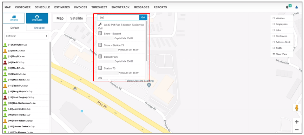
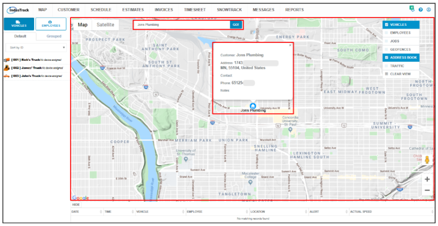
Click on a landmark’s name or a locator icon and the address will come up.

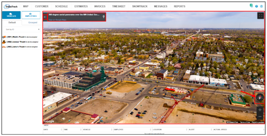
Open Street
Click on the Pegman icon and drag this to the location.
Drop the Pegman and the 360-degree aerial panorama over the area will be displayed on the map. Use the Rotate button to navigate the map, the + and – buttons to zoom in and out, and the arrow-left to go back to the map view.
Zoom
Use the + and – buttons to zoom in and zoom out.

Overlay Filters
The Overlay Filters are discussed in detail in other articles under the Map module.